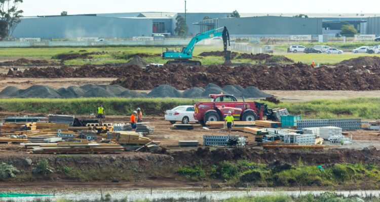
Don’t Let Storm Water Run Off With Your Time and Money What the Construction Industry…
Flood Hazard
FEMA’s National Flood Hazard Layer (NFHL) Viewer
Access the National Flood Hazard Layer (NFHL), an interactive mapping tool provided by FEMA. Easily view flood plain and flood hazard maps and download Flood Insurance Rate Maps (FIRMs) to stay informed about potential flood risks in your area.

